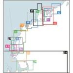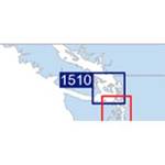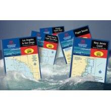
Waterproof Charts w/ Companion CD WPB0230 230: Cape Ann Mass. to Portland, Maine Northern Massachusetts and the New Hampshire Seacoast to Casco Bay. 23 chart pages, 73 GPS waypoints, Lat. /Long. grids, courses, ramps, and 130 facilities. 12 x 17, scales 1:1,200,000 to 1:26,000. Product Overview These easy-to-use, compact chart books are ideal for Day-Sailors, Fishing Boats, and Trailer Boats. They measure 12 x 17 (24 x 17 when open) and are made of waterproof, tear-resistant synthetic paper that will withstand the elements. GPS Ready New features make Waterproof Chartbooks easy to use with your GPS. Most charts include one-minute lat./long. grids to make vessel positioning a breeze, and major navigation aids are identified with named GPS waypoints. Small and Large-Scale Charts Waterproof Chartbooks include small-scale, wide area charts as well as large-scale, detailed charts of harbors and appro « less
Product Specifications –
Universal Product Identifiers
Brand : MaptechPart Number : WPB0230