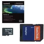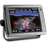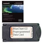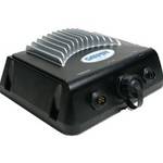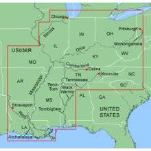
MapSource BlueChart is Garmin's exclusive marine cartography and was developed to provide you with mapping flexibility and options you've never had before. This line of cartography products is designed to provide interactive viewing of detailed nautical chart data, thereby providing navigators with innovative object-oriented cartography. These detailed electronic nautical charts look just like paper charts when displayed on your Garmin chartplotter. Features include shading between depth contours, spot soundings, navaids, port plans, wrecks, obstructions, inter-tidal zones, and more. BlueChart offers much larger coverage areas for half the price. MapSource BlueChart Inland Rivers provides detailed main channel coverage of the major rivers of the interior of the United States. It includes the Ohio, Illinois and the Atchafalaya Rivers in their entirety, and the Mississippi River from its junction with the Illinois above St. Louis, MO to the Delta. It also includes the Tennessee River from Knoxville, TN to the Ohio; the Cumberland River from Celina, TN to the Ohio; and the Red River from Shreveport, LA to the Mississippi. It also provides general coverage of the Gulf of Mexico from Port Arthur, TX to Biloxi, MS; and the southern portion of Lake Michigan from Waukegan, IL to South Haven, MI. « less
Product Specifications –
Universal Product Identifiers
Brand : GarminGTIN : 00753759057282Part Numbers : 010-C0487-00, Inland Rivers