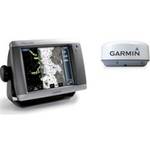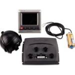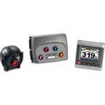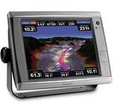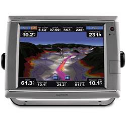
GPSMAP® Touchscreen Chartplotter 7212 preloaded BlueChart® g2 maps of the U.S. coast, 12.1"
Model: 7212
Brand: Garmin
Product Specifications –
Specifications
Accepts Data Cards : YesAntenna : ExternalApplication : Marine NavigationBattery Life : No BatteryBattery Type : No BatteryCartography : US CoastalDimensions : 13.3"W x 9.9"H x 5.8"DDisplay Resolution : 1024 x 768Display Size : 12.1"Functions : Network DisplayInterface : NMEA 0183, NMEA 2000Maximum Depth : Depends on network equipmentMount : TiltRadio Included? : Yes, with additional receiverResolution/Color : Color XGAScreen Aspect : HorizontalTouch Screen : TouchscreenTurn By Turn Navigation : NoWarranty : 1 YearWaterproof : IPX7