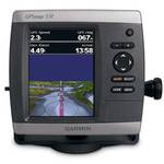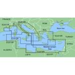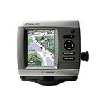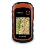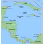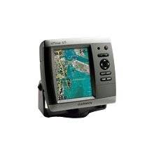
This chartplotter provides the brightest, sharpest, most colorful graphics you've ever seen on a 5-inch screen. See clearly as you navigate with the 525's crisp, sunlight-readable VGA display driven by a high-speed processor. This chartplotter offers exceptional detail, fast redraw rates, and the most realistic photo-enhanced cartography ever seen in this class of fixed-mount electronics. The 525's worldwide basemap can be enhanced with the optional BlueChart g2 Vision card, which provides high-resolution aerial reference photos for help navigating tricky harbors and channels - or locating spots like area marinas, fuel stops or restaurants. The g2 Vision plug-in SD data card also allows the GPSMAP 525 to graphically depict a true 3D "mariner's eye" topside view or "fish eye" underwater navigation perspective. With fewer buttons to push and fewer operational steps to navigate, the GPSMAP 525's simplified menu format makes it easy for you to see and select the data you want to access on-screen. The 525s comes with powerful dual frequency or dual beam sonar to clearly paint depth contours, fish targets, structure, etc. It's also CANet capable, allowing sounder data to be shared with other plotter displays on your boat. « less
Product Specifications –
General
Accuracy : Position - 49 ft Velocity - 0.16 ft/sec Position - 10 ft ( with WAAS )Antenna : Built-inCard Reader : SD Memory CardCompatible Software : BlueChart g2 VisionDGPS : DGPS readyFeatures : Depth sounder, optional external GPS antenna connection, alarmFirst Seen On ;ogle Shopping : February 2007Included Software : Garmin Worldwide Marine BasemapInterface : NMEA 0183Product Type : ChartplotterReceiver : 12 channelRecommended Use : MarineSBAS : WAASUpdate Rate : 1/second