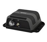
ACR AIS 2682 Nauticast Transponder Transceiver Class B-Automatic Identification Syste...
PC-Planner turns your home computer into a virtual chart plotter, without the GPS fun...
Coverage of New Zealand and Pacific Island's cover's Campbell Island - Cooke Strait -...
Irish Sea: U.K. coverage from Glas;w to Portishead. Ireland coverage from Waterford t...
C-MAP has set the standard for electronic charts with five consecutive NMEA awards fo...
C-Map NT+ Cartography is the "next generation" of C-MAP electronic charts, featuring ...
SA-M504 => South America and South Caribbean Sea Coverage includes the ENTIRE coast o...
You can... View actual chart data Create and change routes Accurately measure distanc...
NA-M033 => Atlantic Coast, Gulf of Mexico and Caribbean Coverage includes most of the...
Black Sea and Marmara: Coverage of the Sea of Marmara - Black Sea and the Sea of Azov...
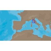
Mfr: C-MAP Electronic Charts - EM-M076; For a detailed list of coverage areas and map...
One of the most reliable chart options for boaters worldwide, NT+ charts continue to ...
Dual AIS receiver with 12 Channel GPS in NEMA enclosure with GPS and GPS puck antenna...
Taking advantage of the world's leading marine electronics sales portal. Become a Marine Electronics Supplier Today!