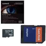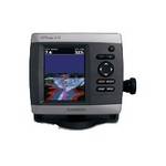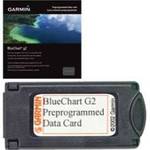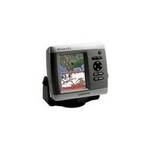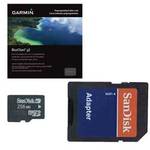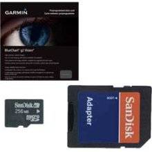
Plug a BlueChart g2 Vision SD data card into your chartplotter, and you'll get a whole new perspective on nautical navigation. BlueChart g2 Vision offers the same rich detailed charting of BlueChart g2 to help you get the most out of your unit. In addition, g2 Vision features a growing database of high-resolution satellite imagery, above and below the water 3D perspective, auto guidance technology, aerial photographs for real world reference and coastal roads with points of interest. British coast: covers from Port Ellen on the Isle of Islay to Falmouth, including the Isle of Man and the Isles of Scilly. Irish coast: covers from Sheep Haven to Caherciveen, Republic of Ireland, including Londonderry, The Storks, Belfast, and Dublin. « less
Product Specifications –
Universal Product Identifiers
Brand : GarminGTIN : 00159165739789, 00753759069438Part Numbers : 010-C0763-00, Irish Sea